8 hoursPickup includedFree cancellation
Nice Tours
Luxor: Full-Day Shared Tour to West and East Banks
fromUS$30
See dates on GetYourGuide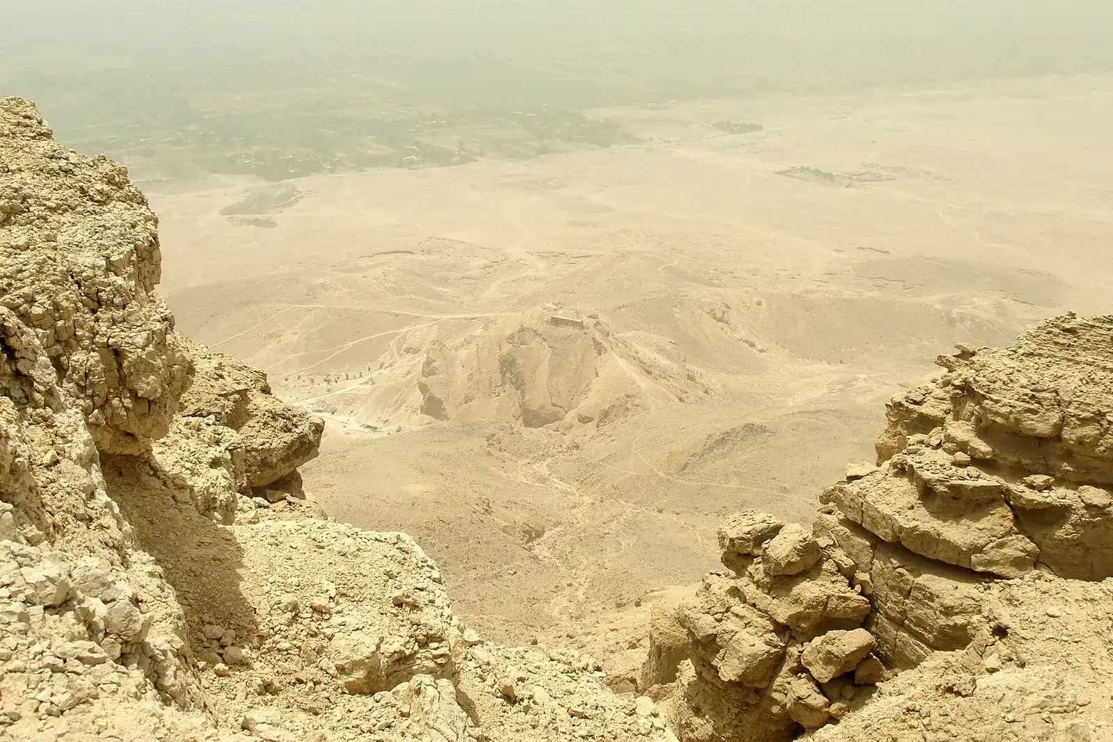
Luxor is the capital of the Luxor Governorate1, which runs along the Nile in Upper Egypt4.
Map of the attractions in this guide, numbered as in the list below. Places further out are arrows at the edge of the map, pointing their way, with the straight-line distance from Luxor (not the distance by road).
Drawn to scale from the attractions' Google Maps locations.
Rivers and roads: map data © OpenStreetMap contributors.
Attractions
Further out (arrows at the edge of the map)
The interactive map loads from Google when you click, and Google may set cookies.
Read it as two halves. Egypt’s official tourism site calls the East Bank the land of the living and the West Bank the holy burial grounds2, and that’s still how a visit works: you sleep on one side and spend your tomb days on the other.
Where you'll sleep
The East Bank is where you’ll sleep, eat and catch your train. It holds the city, Luxor Temple, the Temple of Karnak, museums, trains, hotels and restaurants5.
Karnak 2.5 km north of Luxor6
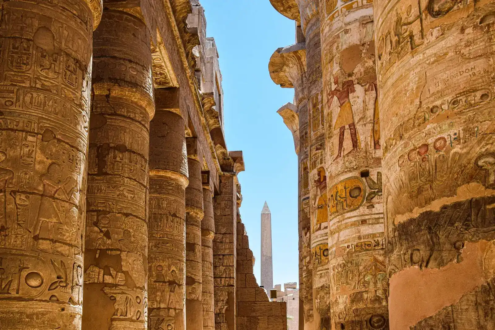
Karnak sits 2.5 km6 north of Luxor and takes its name from the nearby village of El-Karnak. An avenue of human-headed sphinxes6 once linked the two temples, and Egypt’s official tourism site recommends walking the newly reopened, 3,000-year-old Sphinx Avenue2.
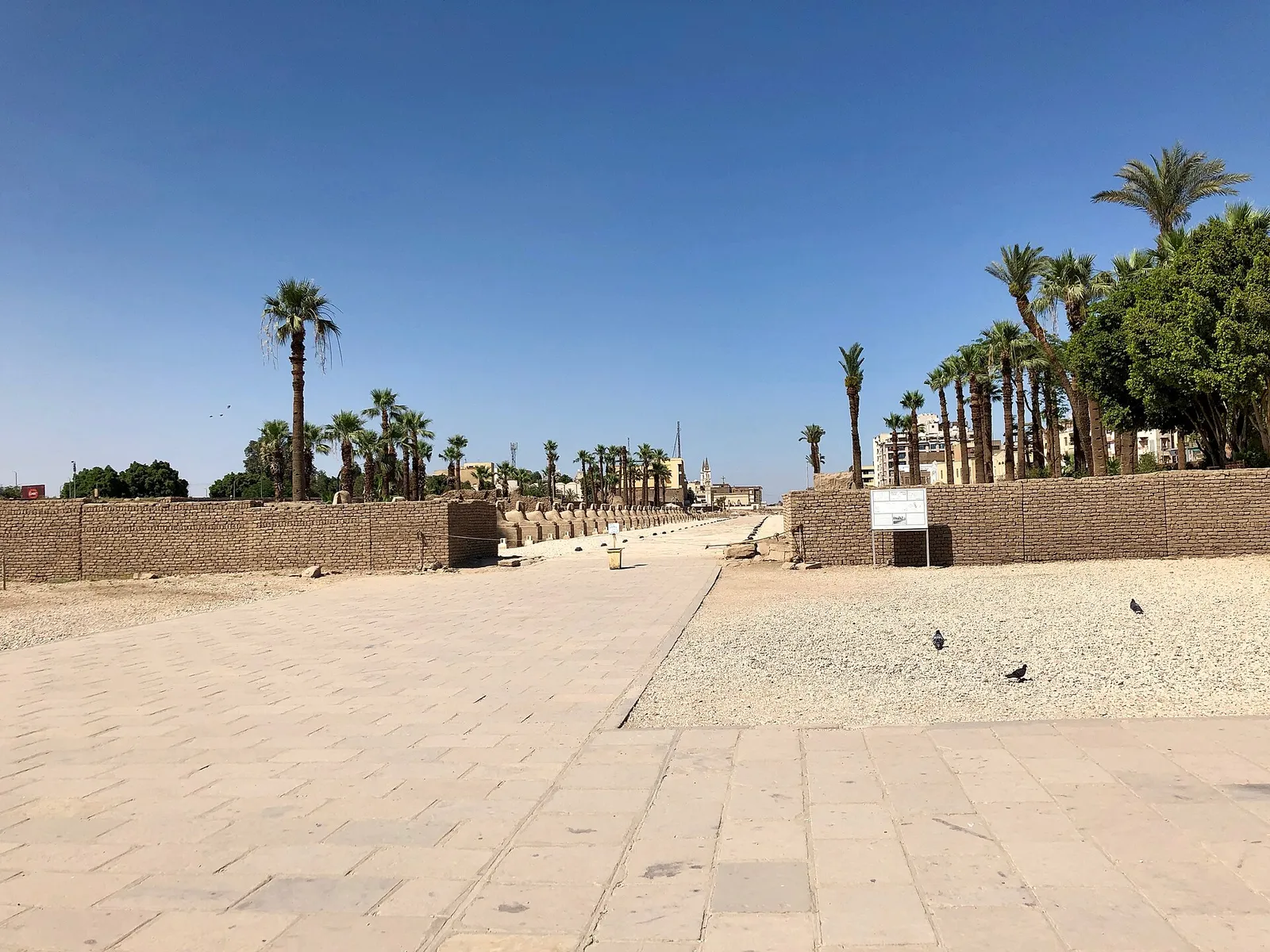
The East Bank is built around four main roads7 with a web of small streets between them. The names worth knowing:
Choosing a base on this side? The Egypt hotel Luxor guide compares the options, and there’s a page on how to visit the Temple of Karnak.
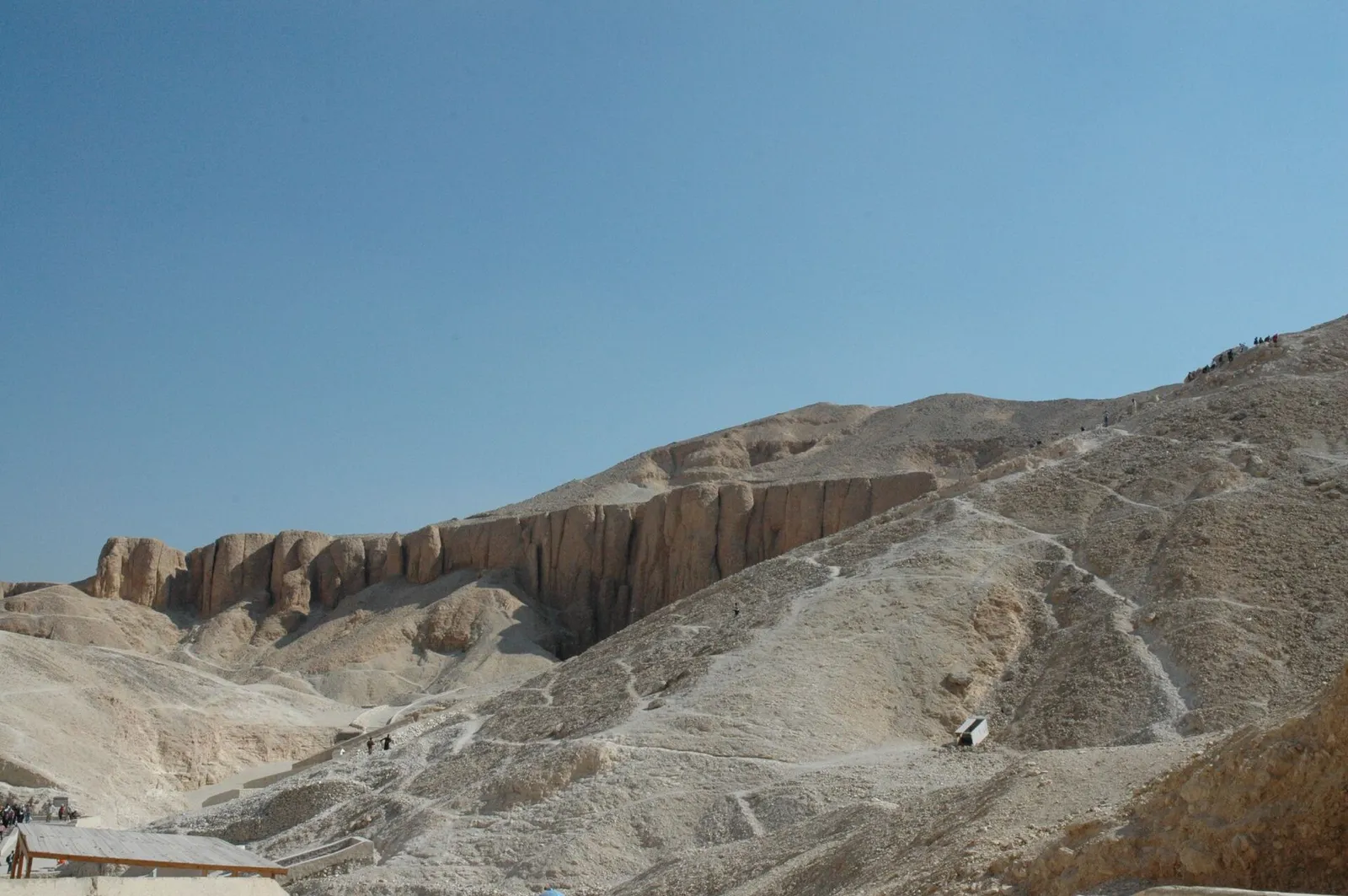
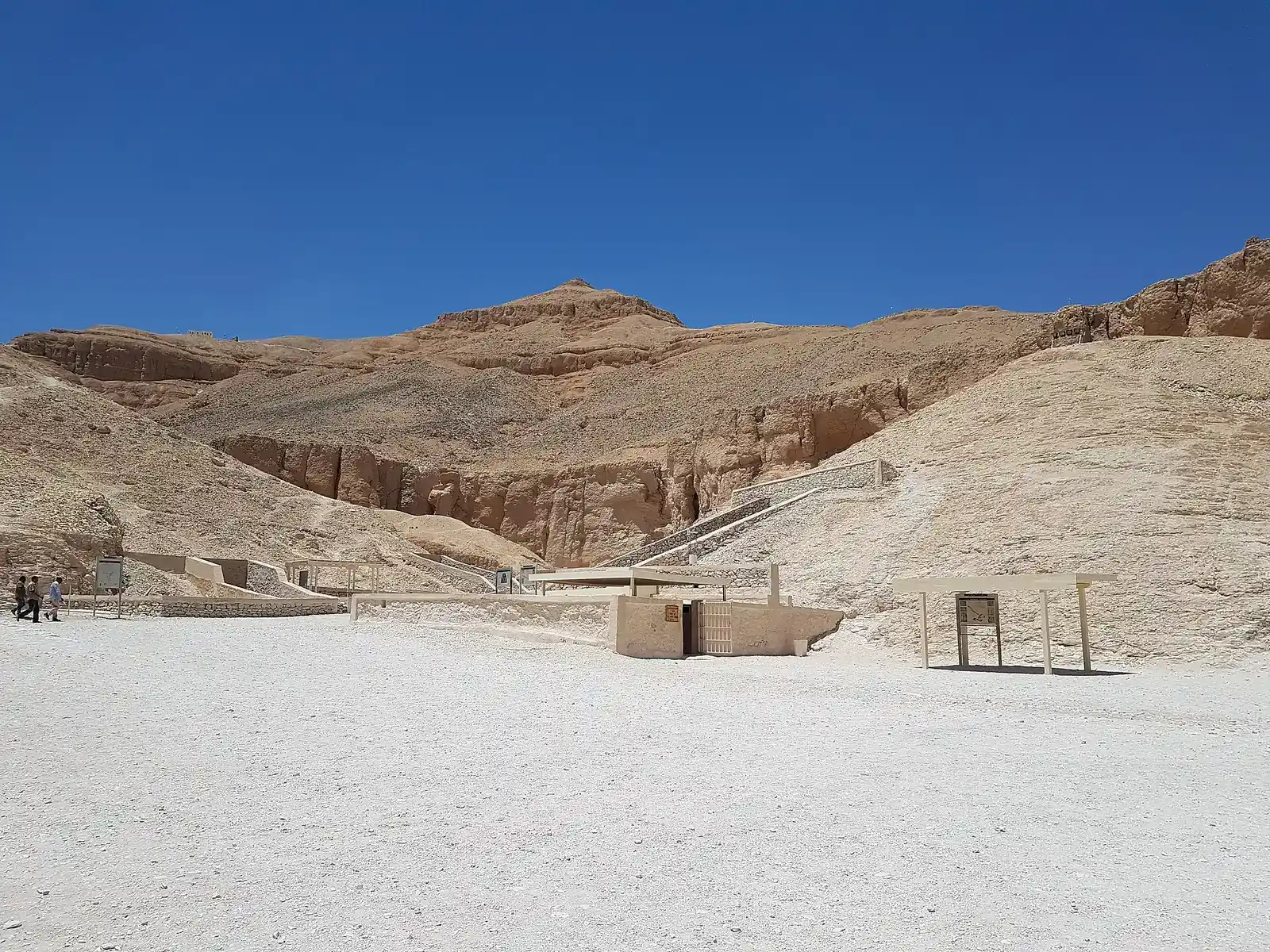
The Valley of the Kings lies on the west bank of the Nile, opposite Thebes8. It’s one of the most famous archaeological sites in Egypt5, and the page on planning your Valley of the Kings visit covers it in detail.
Crossing the Nile
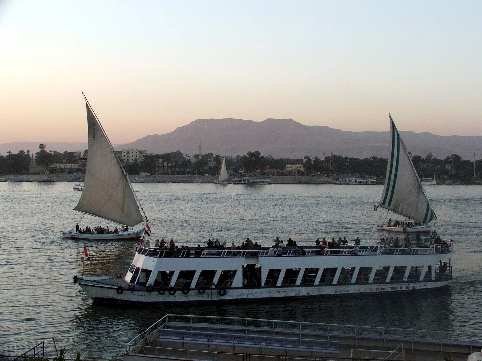
Take the local ferry from the landing opposite Luxor Temple1, hire a felucca, or go by road over a Nile bridge. Your options:
Local ferry EGP 20 for foreigners5
Arriving in town
Everything you arrive by is on the East Bank side of the river. Flights from Cairo take about 1 hour5.
Airport about 6 km east of the centre1
| Place | Where it is |
|---|---|
| Luxor International Airport | About 6 km east of the city centre1 |
| Railway station | On the main line, about 10 hours from Cairo by train5 |
| Most long-distance buses | Behind Luxor Temple5 |
| GoBus and SuperJet | Near the train station5 |
For transfers and fares, see the airport transport options in Luxor.
Down the Nile
Esna is on the west bank of the Nile, about 54 km south of Luxor11. A local minibus via Armant gets you there in 1 hr 30 min11 in total.
Esna about 54 km south of Luxor11
Esna is also where some slower boats start. Nour El Nil runs a 5-night, 6-day12 dahabiya cruise from Esna to Aswan. For the bigger picture, there’s a Nile cruise operators overview.
So a map of ancient Thebes looks much like today’s: the temples of Karnak and Luxor on the east bank, the royal and private cemeteries on the west3.
If you’d rather not juggle ferries and taxis, a guided day takes care of the crossing for you. One covers both banks; the other sticks to the two big East Bank temples.
8 hoursPickup includedFree cancellation
Nice Tours
fromUS$30
See dates on GetYourGuide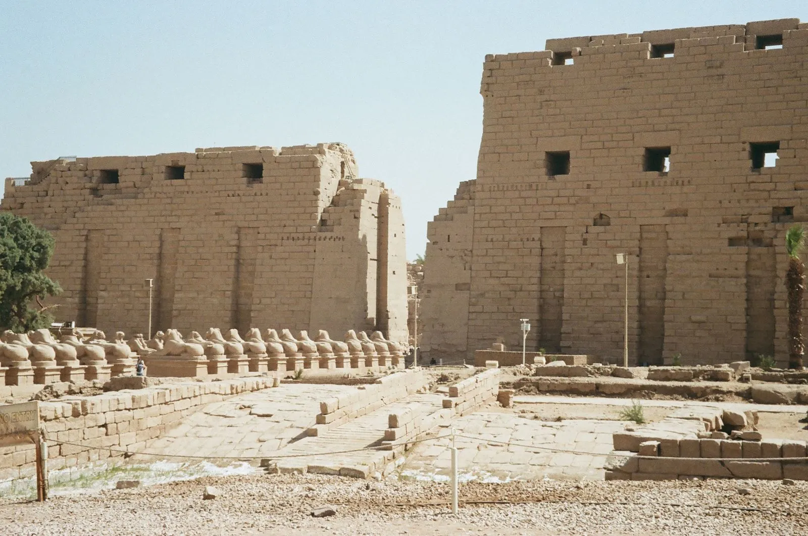
4 hoursPickup includedFree cancellation
Special Egypt
fromUS$52
See dates on GetYourGuideNot here: this page maps Thebes in Egypt, the ancient city that Luxor stands on.
Photos: Wikimedia Commons and Pexels. Authors and licences: image credits